Sunrise (7:45 to 8:45 AM)
Afternoon (2:00 to 3:00 PM)
Sunset (6:00 to 7:15 PM, per location)
Tap a dot to highlight it · ✓ = all heights captured · Positions placed from the distances in the brief and confirmed on the site survey
Every location and height
| Location | Positions | Heights | Sunset window | Views | Progress |
|---|---|---|---|---|---|
| Total |
- Each position is one 360 panorama, captured at Sunrise, Afternoon and Sunset.
- Deliverables: raw panorama sets, reference frames and the drone's in-camera JPG for every view, organized by location, height and time of day. File names follow the code shown under each position.
- Heights marked "max 400 ft" are above the FAA drone limit. Those views are captured as close to the requested height as we're permitted to fly.
- Exterior locations are captured first. The site grid is captured last.
- Exact times follow the light. Sun breaking through is required for every capture.
Light and mood (from the brief)
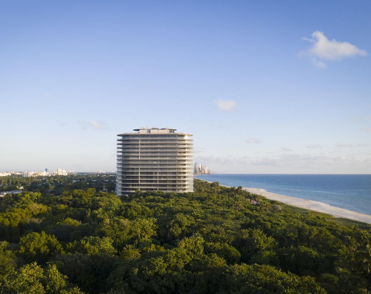
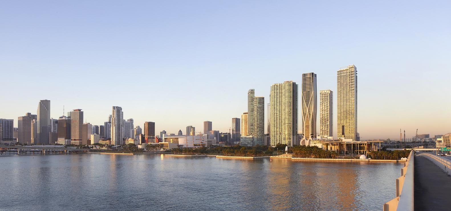
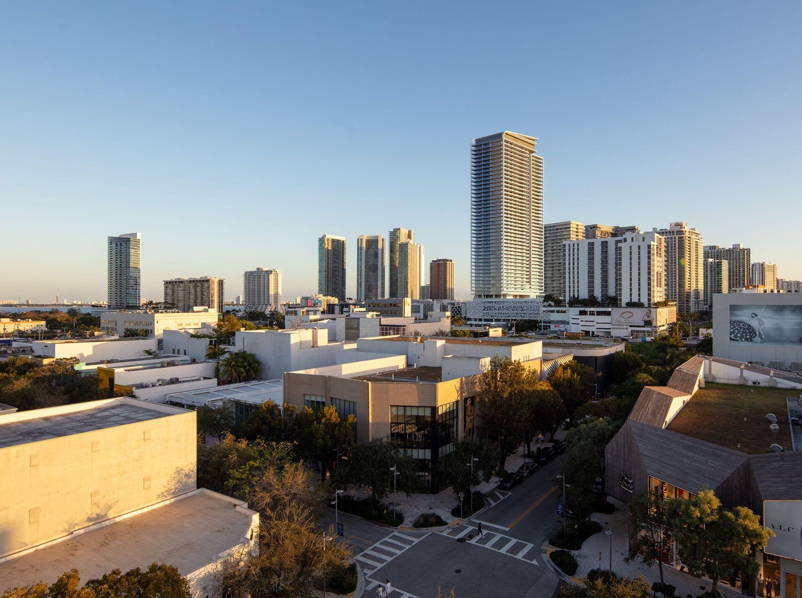
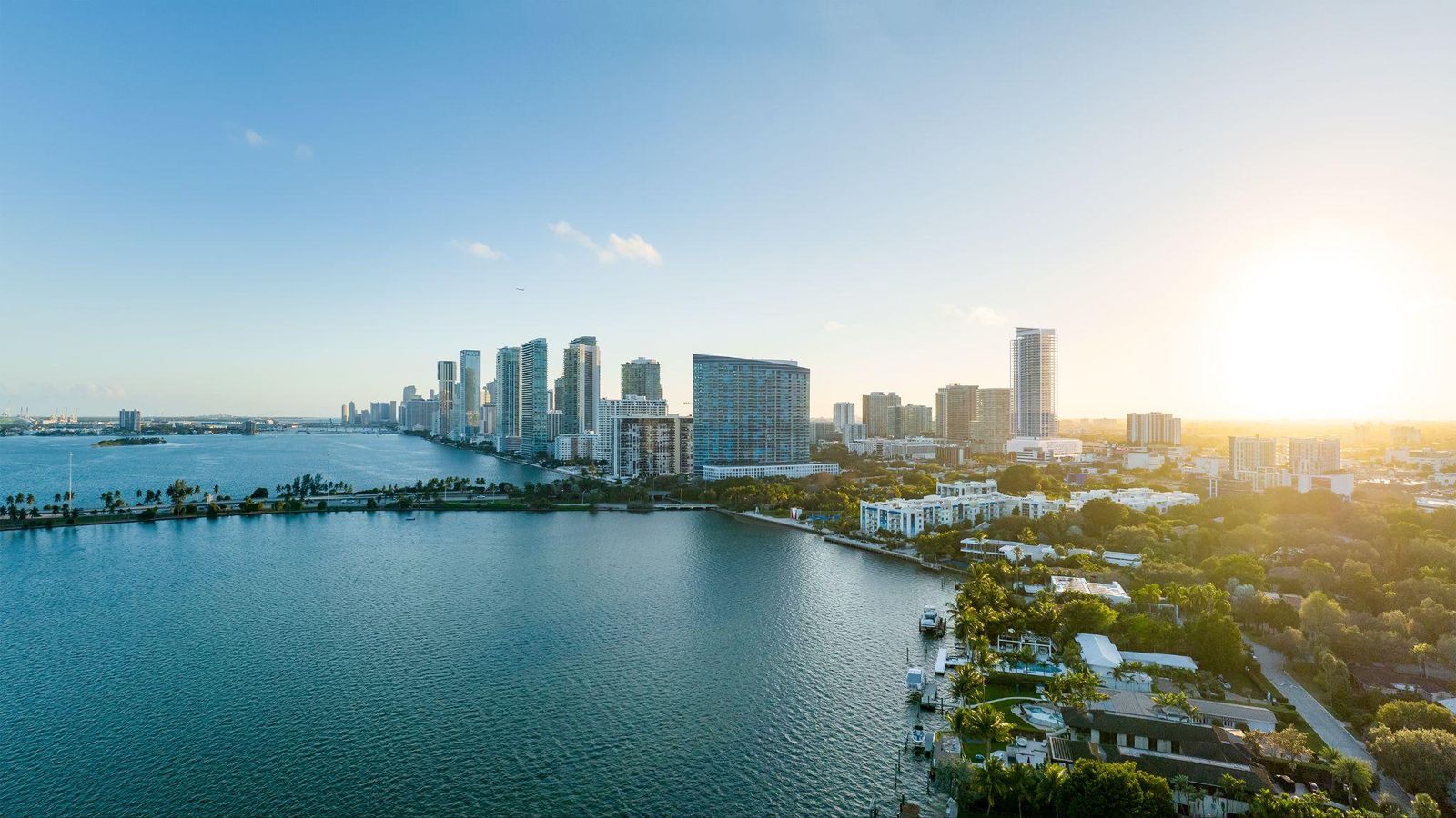
Please review and confirm
- The locations and positions match the revised brief (16 Oct 2026).
- The heights for each location.
- The time windows for each location.
Approve the plan Request changes
To flag a view, give the location, position and height, e.g. EXT02_A 250 ft.